
UrbanVue Platform
All image recognition of public space on one interactive map. Filter by category, quality level and date, follow trends and turn an insight into action in a few clicks.
 Dashboard
 Map
 Routes
 Export
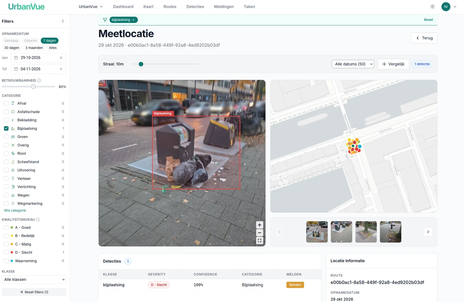
What the UrbanVue Platform does
Interactive map
Every detection as a marker on the map, with street image, category and quality level.
Filter on what counts
Filter by capture date, confidence, category and quality level.
Trends and time series
Follow a neighbourhood over time and measure the effect of a maintenance round.
Open export
JSON, Shapefile or CSV, ready for your own GIS or asset management system.
Link with Signalen
Turn a detection with photo and location into a report in a few clicks.
Roles and access
Your own data, roles and rights per team. GDPR-compliant, with security set up according to the structure of ISO 27001:2022.
From detection to dashboard
The dashboard gives you the big picture: how many measurement locations and assessments there are, and how quality is spread across the levels. That way you back up choices about deployment and budget with figures instead of gut feeling.
The whole municipality on one map
Every detection lands on one map, coloured by quality level. Filter by category, period or quality and see at a glance where public space needs attention.
From drive to route
Every drive automatically becomes a route with measurement points. Step through the recording frame by frame and see the detections and their assessment for each location. Everything can be traced back to the source.
You stay in control
AI does the groundwork, you decide. Go through the detections image by image, keep or remove them and add what the model missed. That way your reporting is right, and your corrections make the model better over time. You export the outcome as data or as a PDF.
From capture to report
It starts with UrbanVue Camera
Driving or walking, you capture public space, and the captures flow straight into the Platform.
See UrbanVue Camera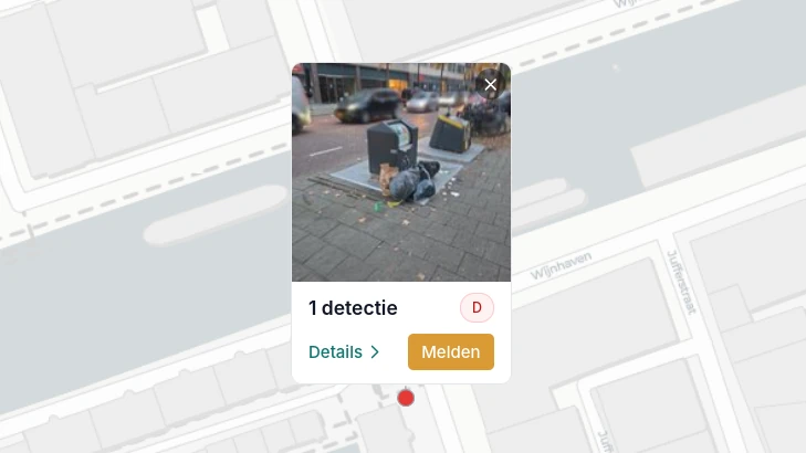
Integration with Signalen
A detected case of waste misplacement, a pothole or graffiti goes straight to the right department as a report, without double entry.
Read more about the link
Transparent and explainable
Every detection can be traced back to the source image, and people and vehicles are made unrecognisable, automatically and with high accuracy, before the analysis starts.
Read how we ensure this