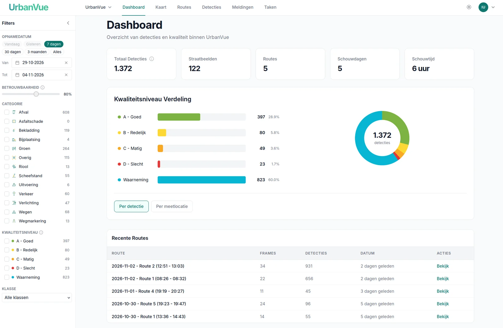
Fast
 Simple
 Objective



 Step 1
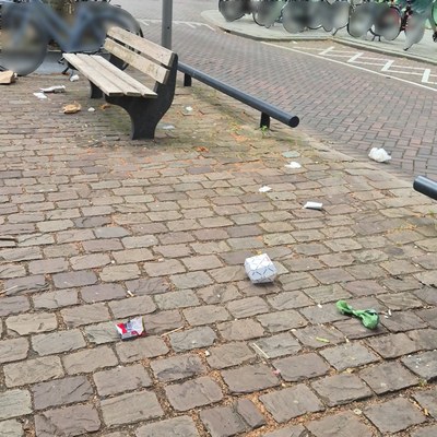
Supply images
Use existing images or capture them with UrbanVue Camera. On the street, a smartphone is enough.
 Step 2
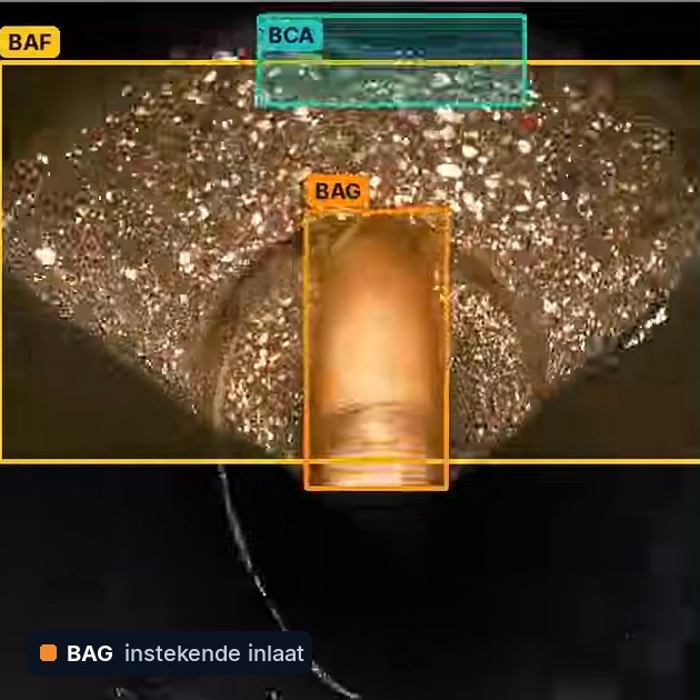
AI recognises what deviates
The model assesses every image and records the location. People and licence plates are first made unrecognisable, automatically and with high accuracy.
 Step 3
You decide
You see the results on the map and decide what happens: a report, a maintenance round or a new measurement.
Objective and repeatable
Waste with the quality levels A to D as reference, roads with PAS 2161 and sewers with EN 13508-2.

GDPR-compliant
Privacy by design: people and licence plates are made unrecognisable automatically and with high accuracy. Processing on our own servers in the Netherlands, with a DPIA positively assessed by a Dutch municipality.

Connects with your systems
From detection to a report in Signalen, and export to your own GIS or asset management system.